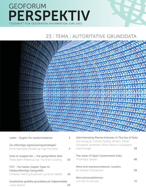
Vol. 12 No. 23 (2013): The Use of Spatial and information in e-Government

Spatial data and spatial information have in recent years become increasingly important as basis for e-government. With the implementation of the EU INSPIRE-directive the first steps towards a more formal use of spatial data and spatial information in the public administration was taken. As the INSPIRE-directive only aims at existing data the creation of new data is still needed in some countries, and existing data still need refinement in other countries. Often data are not produced for the purpose of being used as reference for other more sector specific uses. Hence these data often lack of consistency or accuracy in terms of being well-functioning as the basis for e-government. The second wave of development within the field is the financing of these authoritative reference data and information. Expensive data leads to alternative, not authoritative data-production. Several countries has hence decided to set authoritative data free of change.
This special issue will target the authoritative data and information in itself as well as the use of these data and information as base for other administrative purposes.
The scope is to address the practical obstacles occurring when using spatial data as the basis for e-government

