
Vol. 11 No. 21 (2012): Public Participation GIS
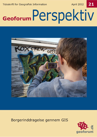
Public participation geographic information systems (PPGIS) was born, as a term, in the late 1990'ties. PPGIS is meant to bring the academic practices of GIS and mapping to the local level in order to promote knowledge production.
The idea behind PPGIS is empowerment and inclusion of marginalized populations, who have little voice in the public arena, through geographic technology education and participation. PPGIS uses and produces digital maps, satellite imagery, sketch maps, and many other spatial and visual tools, to change geographic involvement and awareness on a local level.
This issue of Geoforum Perspektiv covers the topic through five papers with five different perspectives. Enjoy.
Published:
2012-04-12
