Archives
-
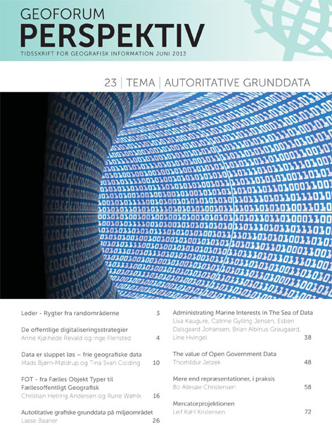
The Use of Spatial and information in e-Government
Vol. 12 No. 23 (2013)Spatial data and spatial information have in recent years become increasingly important as basis for e-government. With the implementation of the EU INSPIRE-directive the first steps towards a more formal use of spatial data and spatial information in the public administration was taken. As the INSPIRE-directive only aims at existing data the creation of new data is still needed in some countries, and existing data still need refinement in other countries. Often data are not produced for the purpose of being used as reference for other more sector specific uses. Hence these data often lack of consistency or accuracy in terms of being well-functioning as the basis for e-government. The second wave of development within the field is the financing of these authoritative reference data and information. Expensive data leads to alternative, not authoritative data-production. Several countries has hence decided to set authoritative data free of change.
This special issue will target the authoritative data and information in itself as well as the use of these data and information as base for other administrative purposes.
The scope is to address the practical obstacles occurring when using spatial data as the basis for e-government
-
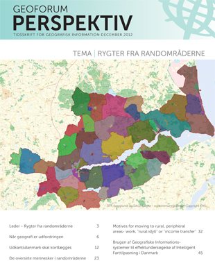
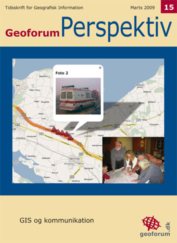
Rygter fra randområderne
Vol. 11 No. 22 (2012)Titlen rummer en dobbelttydighed, som ønskes undersøgt gennem forskellige artikelbidrag. Ordet Rygter lægger op til, at der er tale om artikler, der tester forskellige påstande vha. geografiske analyser. Artiklerne vil derfor skulle indledes med et rygte, i form af en hypotese eller påstand. Temaet for artiklerne er dernæst Randområderne. Dette kan forstås bogstaveligt som de fysiske, danske randområder, hvor geografiske analyser kan være med til at tegne et billede af disse og dermed be- eller afkræfte nogle af de påstande, der i dag er om på de danske yderområder, ”den rådne banan” og hvad områderne i dag ellers benævnes som. For det andet kan der være tale om artikler fra forskningsmæssige randområder, - forskningsområder som vi ikke normalt forbinder med anvendelsen af GIS-analyser, men hvor netop GIS kan være med til at give andre perspektiver på forståelsen af et givet emne.
-
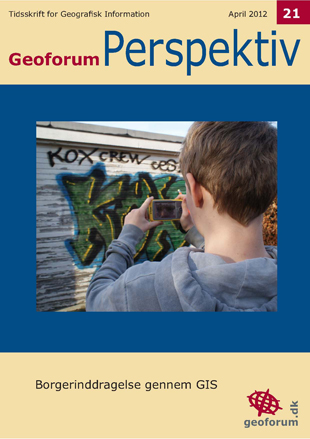
Public Participation GIS
Vol. 11 No. 21 (2012)Public participation geographic information systems (PPGIS) was born, as a term, in the late 1990'ties. PPGIS is meant to bring the academic practices of GIS and mapping to the local level in order to promote knowledge production.
The idea behind PPGIS is empowerment and inclusion of marginalized populations, who have little voice in the public arena, through geographic technology education and participation. PPGIS uses and produces digital maps, satellite imagery, sketch maps, and many other spatial and visual tools, to change geographic involvement and awareness on a local level.
This issue of Geoforum Perspektiv covers the topic through five papers with five different perspectives. Enjoy.
-
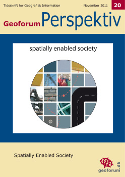
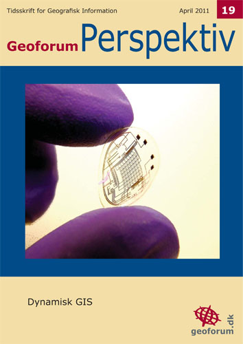
Spatially Enabled Society
Vol. 10 No. 20 (2011)I den første artikel slås tonen an:
The term ‘spatially enabled society’ describes the emerging cultural and govermentalrevolutions offered by pervasive spatialinformation technologies and spatially equipped citizens. Spatially enabled societies make possible, sustainable cities, early warning systems e.g. in relation to the globalfinancial crisis, smarter delivery of housing, improved risk management, and better macroeconomic decision making. The concept is not about managing spatial information - it is about managing information, or governing society, spatially.
Temaet for dette nummer er Spatially Enabled Society. Det georelaterede samfund, kunne en dansk oversættelse lyde. Temaet diskuterer den ramme, vi alle arbejder under, i vores arbejde med geografisk information.Det er en form for reflekterende status over, hvor vi er - og hvor vi skal hen.