
Keywords
ENVISAT
ESA
Jordobservation
Vandressourcer
Zambia
ESA
Jordobservation
Vandressourcer
Zambia
How to Cite
Nielsen, J. R. (2007). ESA’s satellit hjælper med Afrikas vandproblemer. KVANT, 18(3). Retrieved from https://tidsskrift.dk/KVANT/article/view/173132
Abstract
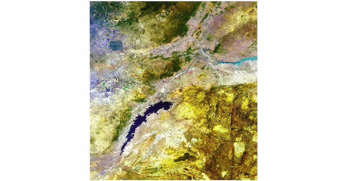
Kort bagsideindlæg om ESA’s jordobservationssatellit ENVISAT, hvis MERIS-sensor bruges til at kortlægge vandressourcerne i Zambia. Kortene kan hjælpe myndighederne med at regulere vandforbruget i et område, hvor dyreliv, turisme, fiskeri og landbrug afhænger af sparsomme vandressourcer. Indlægget viser et ENVISAT-billede af Kariba-søen.
References
www.esa.int – “Observing the Earth”
Counting from volume 37 (2026 -), articles published are licensed under Creative Commons Attribution-NonCommercial CC BY-NC 4.0.
Articles in volume 1-36 (1990 - 2025) are not licensed under Creative Commons. In these volumes, all rights are reserved to the authors of the articles respectively.