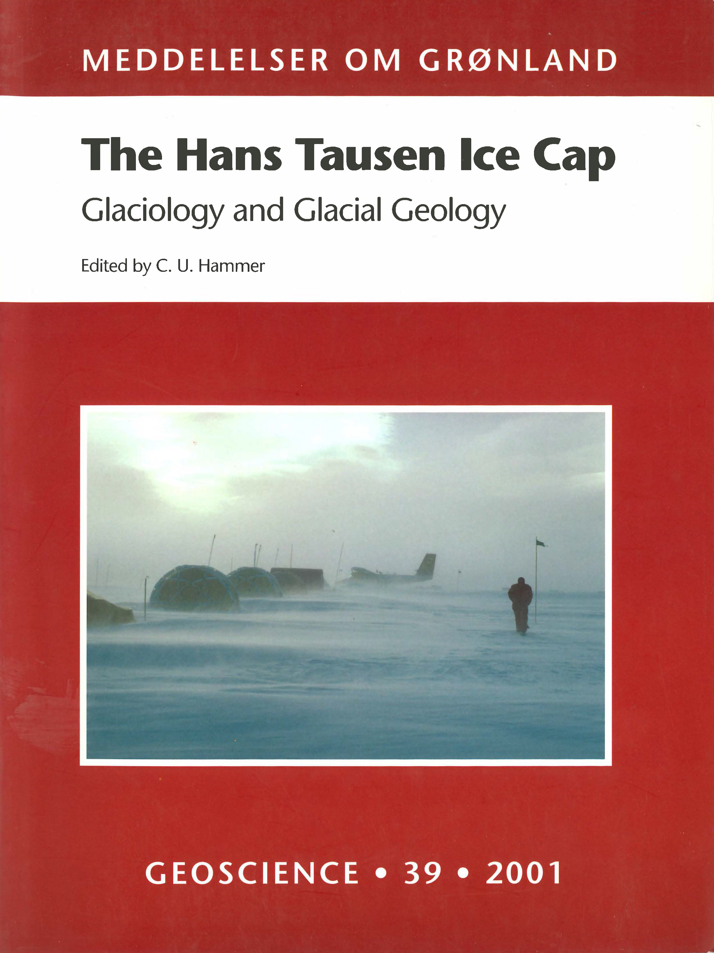
Digital elevation models of the Hans Tausen ice cap
DOI:
https://doi.org/10.7146/moggeosci.v39i.140223Abstract
In the field seasons from 1993 to 1995 several data set describing glacier surface and thickness have been collected at the Hans Tausen Ice Cap in Peary Land, North Greenland. This is the description of how this geophysical data have been used in order to produce digital elevation models for both the surface and the bedrock topography of the area. The two models are consequently used to construct a digital ice thickness model of the Hans Tausen Ice Cap. Based on this model, calculated estimates for both the surface area and the total glacier volume are computed.
Downloads
Published
How to Cite
Issue
Section
License
Coypyright by the authors and the Commision for Scientific Research in Greenland / Danish Polar Center. No parts of the publications may be reproduced in any form without the written permission by the copyright owners.


