
Flock distributions of Lesser Flamingos Phoeniconaias minor as potential responses to food abundance-predation risk trade-offs at Kamfers Dam, South Africa
Article Sidebar
Main Article Content
Abstract
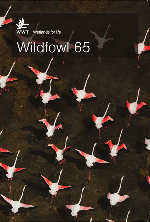
Digitised vertical aerial photography was used to investigate the instantaneous distributional patterns of Lesser Flamingos Phoeniconaias minor at Kamfers Dam, South Africa. Image processing software was applied to differentiate high and low density flocks, based on earlier work, suggesting formation of dense aggregations in response to food abundance (in this case, the cyanobacteria Arthrospira fusiformis). Ripley’s K analysis showed a regular arrangement of individuals in the densest flocks, potentially reducing interference without cost to foraging efficiency in highest food concentrations. Where inter-bird distances exceeded 0.70 m (s.d. ± 0.06 m, 95% C.I.), flamingos were arranged irregularly and showed clustered distributions. Flamingos aggregated to forage in the densest flocks in shallow waters, but imagery showed that the birds always maintained a consistent distance from mainland shorelines, whereas on an isolated artificial island they showed no such avoidance pattern. We hypothesised that this distance was maintained due to perceived predation risk from mainland predators and predicted that it would be inversely correlated with flock size (due to predator detection and dilution effects) but positively correlated with vegetation on shore (which functions as cover for predators). Generalised linear mixed modelling showed that flocks adjacent to vegetated shores (mean = 14.0 m ± 2.9, 95% C.I.) were arranged significantly further from the shore than those near unvegetated shorelines (4.1 m ± 2.8, 95% C.I.), supporting our second hypothesis. However, there was no correlation with flock size over the range of flock sizes included in the analysis, suggesting that flock size benefits are more related to foraging than to predation avoidance. We suggest that the density, shape and position of Lesser Flamingo flocks at this site is driven by food abundance but modified by perceived risk of predation. Further studies combining simultaneous aerial survey and mapping of food density and distribution are required to verify the precise relationships involved.
Article Details
Articles in Wildfowl volumes 1-74 and in Wildfowl Special Issues 1-7 are not licensed under Creative Commons. In these volumes, all rights are reserved to the authors of the articles respectively.
The Wildfowl & Wetlands Trust (which published the journal from 1948–2020 inclusive) retains a royalty-free license in perpetuity to access and use pre-2021 issues for the purposes of research, which may involve sharing with research partners from time to time.
The copyright for this paper belongs to the Author(s). Papers published in Wildfowl 75 (in 2025) and subsequent issues are licensed under a Creative Commons Attribution-NonCommercial-ShareAlike 4.0 International License.
In the articles published in these volumes, all rights are reserved to the authors of the articles respectively. This implies that readers can download, read, and link to the articles, but they cannot republish the articles. Authors can upload their articles into an institutional repository.